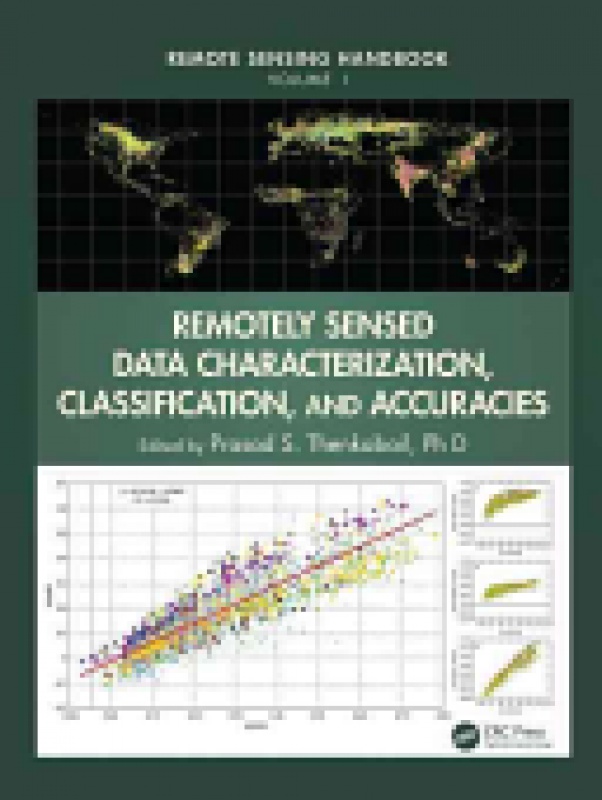
Remotely Sensed Data Characterization, Classification, and Accuracies
Prasad S. Thenkabail, Ph.D.
ISBN: 9781482217865
Vydavateľstvo: Taylor & Francis
Rok vydania: 2015
Vydanie: 1
Väzba: Hardback
Počet strán: 712
Pôvodná cena: 227,50 €
Výstavná cena:
204,75 €(t.j. po zľave 10%)
(Cena je uvedená vrátane 10% DPH)
Katalógová cena: 175 GBP
Nárok na
dopravu zdarma
Termín dodania na našu pobočku v Bratislave je približne 2-3 týždne.
A volume in the Remote Sensing Handbook series, Remotely Sensed Data Characterization, Classification, and Accuracies documents the scientific and methodological advances that have taken place during the last 50 years. The other two volumes in the series are Land Resources Monitoring, Modeling, and Mapping with Remote Sensing, and Remote Sensing of Water Resources, Disasters, and Urban Studies. This volume demonstrates the experience, utility, methods, and models used in studying a wide array of remotely sensed data characterization, classification, and accuracies for terrestrial applications. Leading experts on global geographic coverage, study areas, and array of satellite and sensors contribute to this unique handbook. This theoretical as well as highly practical book represents a thorough history of advancement in the field over last 50 years, bringing us to where we are now, and highlighting future possibilities. Highlights include: Fundamental and advanced topics in remote-sensing satellites and sensors Remote sensing data calibration, normalization, harmonization, and synthesis Optical, Radar, LiDAR, thermal, hyperspectral, and other satellite sensors, normalization of remotely sensed data, and data degradations Digital image processing, urban image classification, and image classification methods in land use\land cover, cropland, change detection studies Enhanced vegetation indices and standardization of vegetation indices Object-based image analysis (OBIA) and geospatial data integration LiDAR data processing and applications Geoprocessing, GIS, and GIScience GNSS applications Crowdsourcing and cloud computing Google Earth for Earth Sciences Map accuracies Remote-sensing law or space law, and a host of other topics Considered magnum opus on the subject, the three-volume Remote Sensing Handbook is edited by Dr. Prasad S. Thenkabail of the United States Geological Survey and a renowned international expert in remote sensing and GIScience, with contributions from the very best leading global experts, the handbook gives you a knowledge base on the evolution of remote sensing science, current state-of-the-art technology, and a future vision for the field.